Azar Mehr PargasSolar project developer — Bushehr, Iran
Gallery

Project visualization

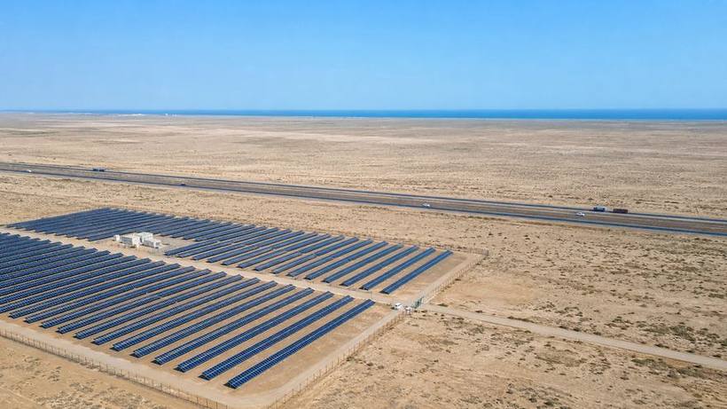
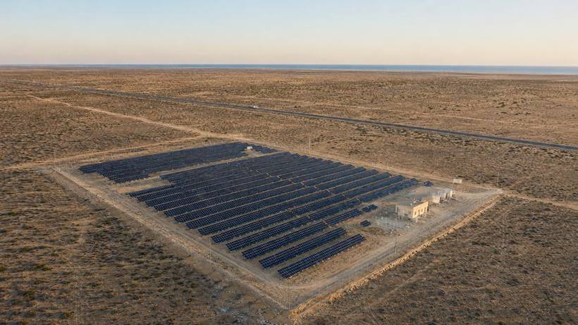
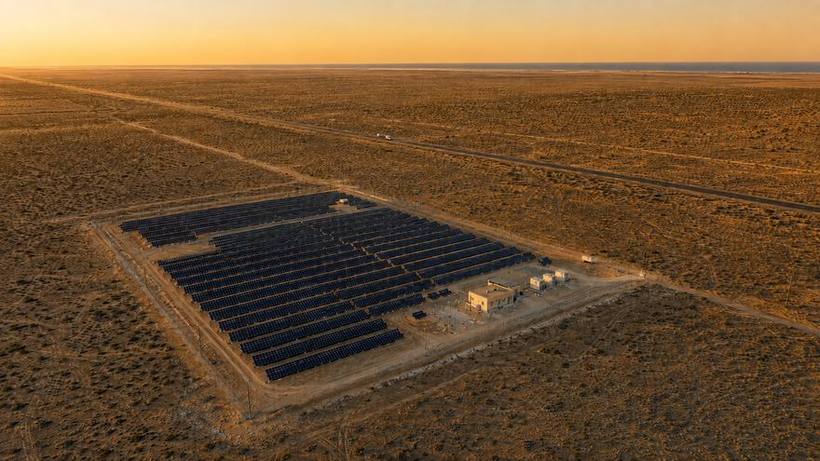
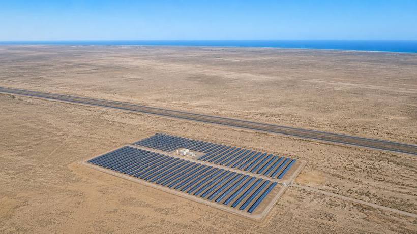
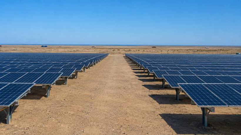
The images on this page are visualizations of the design on the actual project land. They are not photographs of a completed plant. Their purpose is to convey scale, layout and the project's relationship to the highway and surrounding plain.

Click any image to view it full size.

01

Aerial views

The scale of the plant within its surroundings.
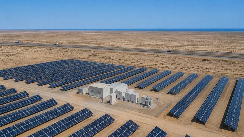
Project visualization The plant, the highway and the Gulf on the horizon
The plant, the highway and the Gulf on the horizon
Project visualization Arrays and the Bushehr–Borazjan highway
Arrays and the Bushehr–Borazjan highway
Project visualization The plant in the last hours of daylight
The plant in the last hours of daylight
Project visualization Sunset over the project site
Sunset over the project site
02

Site and highway context

Position relative to the Bushehr–Borazjan highway and the coastal plain.
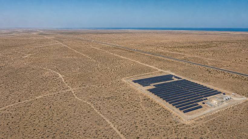
Project visualization Site scale within the surrounding plain
Site scale within the surrounding plain
Project visualization Position relative to the highway and the coast
Position relative to the highway and the coast
03

Ground-level views

South-facing fixed-tilt rows at an eight-metre pitch.
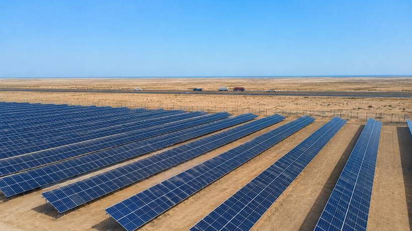
Project visualization South-facing fixed-tilt rows
South-facing fixed-tilt rows
Project visualization Eight-metre row pitch
Eight-metre row pitch
04

Between the panels

The space beneath the arrays and the service route.
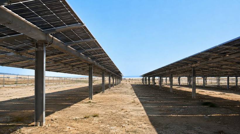
Project visualization Beneath the arrays
Beneath the arrays
05

Electrical infrastructure

Substation, transformers and grid connection equipment.
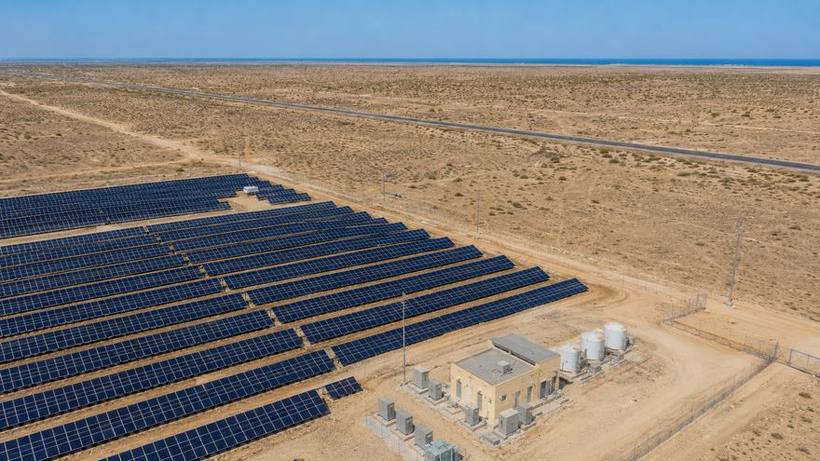
Project visualization Substation and grid connection equipment
Substation and grid connection equipment

See the site in person

For investors entering evaluation, we arrange a field visit to the land in Bushehr.

Arrange a visit